Coastal field notes can reveal patterns in wind, tide, and activity, but the record can also expose movements and favored areas. Paper notes avoid automatic cloud sharing yet can be lost or viewed; digital tools are convenient but may attach coordinates, timestamps, or account identifiers. This guide shows how to keep useful observations while reducing unnecessary location detail.
The Tension Between Data Collection and Privacy
Environmental notes can help compare moon phase, wind, tide stage, and observed activity. A dropped map pin or photo may also carry coordinates, timestamps, or device identifiers, especially when an app syncs to a broadly shared cloud account. Data minimization starts by deciding which details support later planning and omitting the rest. That produces a useful personal record without automatically turning every outing into a precise movement history.
Core Principles of Data Minimization in the Field
Data minimization applies a simple privacy principle to field notes: collect and retain only what supports the purpose of the log. If the goal is to compare environmental conditions with activity, a general area and tide stage may be enough; exact latitude and longitude may add exposure without improving the later decision.
The NIST Privacy Framework provides excellent guidelines on managing privacy risks by understanding what data is collected. Applying a similar mindset involves reviewing your tools. Does your note-taking application automatically attach a location tag? Does your camera app embed EXIF data containing GPS coordinates? Taking control requires reviewing your device settings to manage unnecessary permissions.
When you use a fishing spot tracker with source-aware notes, you can seek a system that allows you to manually input the variables that matter—like water clarity or barometric pressure—without automatically capturing background location data. Adopting privacy-aware habits means you explicitly choose the data that enters the record, aiming to prevent your device from passively acting as a tracking tool.
Understanding Coarse Location and Its Benefits
Coarse location logging replaces a precise coordinate or small-cove name with a broader region such as “South Shore” or “North Bay Estuary.” This can preserve enough context for comparison while reducing precision. It still reveals a general area and time to anyone who can view the record, so access and sharing choices still matter.
This approach often aligns well with the reality of marine environments, although marine activity is not universally regional, as some structure-specific fishing is highly localized. Generally, fish populations and environmental conditions move with currents, tides, and seasonal changes across broader areas. Your notes can often reflect these macro-trends.
Coarse notes can also support selective sharing: discuss conditions across a broad region without disclosing a precise access point. The result is a more useful balance between personal pattern tracking, privacy awareness, and care around sensitive coastal places.
Tide and Weather Conditions Without the Coordinates
Many helpful variables for an effective log are related to water movement and weather, rather than precise geography. As explained in the NOAA introductory tutorial on tides, gravitational forces from the moon and sun interact with the earth’s rotation to create complex, regional water movements. These movements influence where baitfish might gather and where larger predatory species tend to hunt.
You can record the state of the tide—whether it was incoming, outgoing, slack high, or slack low—without needing to record the exact spot you were standing. Noting the amplitude of the tide is often helpful context, though exact tide amplitude may not be vital for every logging purpose. When checking conditions, you can reference authoritative sources. The National Weather Service marine forecasts provide information on wind speed, wave height, and small craft advisories. These forecasts are regional, complementing a coarse-location logging strategy.
The NOAA Tides and Currents FAQ explains why predicted tides can differ from observed water levels, including local wind effects. A log can focus on wind, water temperature, tide stage, forecast zone, and observation time. The zone still reveals a broad area, but less than a pinpoint coordinate.
Building a Privacy-Aware Workflow
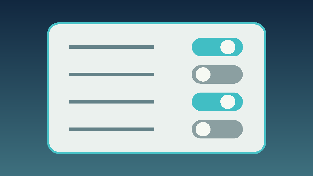
Before an outing, review location permissions for note and camera apps and check whether the camera adds GPS metadata. Disabling unnecessary access reduces one source of precise coordinates, but other metadata, network activity, account settings, or manual tags may still disclose location. Treat permission review as one layer, not complete protection.
When you make an entry in your log, try to be deliberate. An entry might look like this: “Date: October 14. Region: Mid-Coast Sandy Beach. Time: 07:00. Tide: Two hours into incoming. Weather: Overcast, light northeast wind. Activity: Sporadic surface feeding.” This entry contains actionable intelligence for future planning and reduces location exposure, even though it still provides a timestamp and a coarse region.
It can also be helpful to establish a routine for data deletion. Regularly purging old, unnecessary data can reduce your digital footprint and lower the potential impact if a data breach occurs. Managing retention is a practical habit for keeping your digital log more concise and less revealing over time.
Timestamp context deserves the same care as location. A precise time combined with a coarse region, public photo, and marine forecast can narrow an outing more than any field alone. Decide whether the log needs an exact minute, an hour range, or only a tide-stage label. When records are retained for comparison, document the time zone and whether the value came from an observation, forecast, or later recollection so the entry remains interpretable.
Before sharing an entry, review the audience and the destination. A private local note, a shared family folder, and a public forum have different exposure. Remove unneeded attachments, recheck photo metadata when the tool supports it, and consider delaying public posts until the trip is over. Periodic permission and retention reviews help keep the process aligned with the original purpose of the log.
Managing Your Digital Footprint
A field log is only one part of a digital footprint. Removing precise coordinates from notes helps less if a real-time social post reveals the same outing. Review the full workflow, including how local weather tools handle location privacy, account sharing, and posting timing.
Small disclosures can accumulate into a recognizable routine. Use a broader digital-footprint review to check accounts, app permissions, retention, and public sharing alongside the field log.
A Practical Comparison: Source-Aware vs. Over-Exposed
| Data Type | Privacy-Aware Approach (Source-Aware) | Over-Exposed Approach (Default Settings) |
|---|---|---|
| Location | Coarse regional names (e.g., “North Bay”, “County Pier”). | Exact GPS coordinates (latitude/longitude) embedded in every entry. |
| Photos | Location metadata reviewed and removed when the tool supports it; camera GPS disabled when unnecessary. | Geotagged images synced automatically to public cloud folders. |
| Weather Data | Manual entry based on trusted marine forecasts and observation. | App automatically pings third-party servers with your exact location to fetch weather. |
| Storage | User-selected options like verified encrypted local storage. | Unencrypted cloud sync with permissive sharing defaults. |
| Sharing | Local or selective sharing of broad trends with trusted individuals. | Posting exact coordinates and conditions to public forums or social feeds. |
Frequently Asked Questions
1. Why might coarse location be preferable to exact GPS coordinates for personal logs?
Coarse location is a risk-reduction habit that helps obscure your exact whereabouts while often providing enough context to recognize environmental patterns. Because many fish and tidal movements operate on regional scales, a broad geographic identifier can be helpful for future planning while lowering the risk of exposing sensitive habitats.
2. Do I need anonymity to keep a privacy-aware log?
No. Turning off location services reduces one data source but does not create anonymity. The goal is practical data minimization—reducing the amount of highly specific data you collect and store. Turning off GPS tagging and using broad region names are habits that can help lower your privacy risk.
3. How can I check conditions without giving weather apps my exact location?
Instead of granting weather applications permission to access your device’s GPS, you can manually search for the nearest coastal town or prominent geographic feature. Relying on official NOAA or NWS marine forecasts for broad zones provides helpful information without broadcasting your precise coordinates.
4. Are paper journals more secure than digital logs?
Paper journals do not automatically sync to cloud services, but they can still be lost, damaged, photographed, or viewed without permission. A digital tool configured with user-selected, verified encrypted local storage can offer a different balance of convenience and privacy awareness.
5. Why should I consider deleting old log entries?
Establishing a routine of deleting outdated or irrelevant data is a practical data minimization habit. If an observation from years ago no longer serves a purpose, removing it can reduce your overall digital footprint and limit the amount of data that could be exposed in the future.